WISERD is playing a central role in a project to map and support the green transition on the Isle of Anglesey and beyond. The Public Map Platform (PMP) is entering a second phase after securing a £3.12m Green Transition Ecosystems grant from the Arts and Humanities Research Council (AHRC). This follows an initial £4.63m awarded in 2023 and will allow the project to continue for a further 30 months.
The project is being led by Professor Flora Samuel at Cambridge University and involves researchers at Bangor University, Cardiff University and Wrexham University.
The WISERD Data Team, led by Professor Scott Orford, based at Cardiff University, who is a PMP co-lead, is building an online interactive mapping platform which forms an integral part of the project. The platform is designed to provide communities, local authorities, and policymakers with accessible, dynamic information on social, cultural, and environmental data around the green transition in Wales.
The WISERD Data Team is being supported by Cardiff University colleagues in the School of Geography and Planning, the School of Social Sciences and the Welsh School of Architecture, who are leading on social and environmental mapping activities that feed data into the platform.
The maps include traditional statistical layers provided by organisations such as the Welsh Government and local authorities but also feature qualitative and multi-media layers created by local communities, capturing important aspects of their daily lives.
These community-made layers will be overlaid onto the existing map layers to build a baseline Future Generations map of the Isle of Anglesey. The layers can be clustered together to measure the island’s progress against the Well-being of Future Generations (Wales) Act 2015 but can also be reconfigured to allow measurement against other frameworks too. In this way, the project will offer a model for inclusive, transparent and evidence-based planning, offering lessons for the rest of the UK and beyond.
A beta-version of the platform was launched at the end of September during an afternoon stakeholder workshop in the Pierhead building in Cardiff Bay and at an evening reception at the Senedd, sponsored by Rhun ap Iorwerth, the Leader of Plaid Cymru and MS for Anglesey.
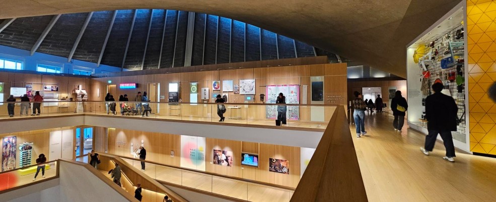
The project is also a focus of a year-long “Tools for Transition” exhibition at the Design Museum in London, which the team recently attended.
PMP Phase 2 will see continued development of the platform with an emphasis on making it useable for different groups (eg, children and young people, and professional stakeholders and community groups) through varying the look, feel and functionality depending upon the user.
The team will also explore how AI and machine learning can be used to make the platform more user-friendly, for instance in bringing together map layers in meaningful ways to understand green transition behaviour. Mapping will also extend beyond the initial focus of Anglesey to incorporate community groups in and around Pontypridd, to explore green transition issues affecting the south Wales valleys.
Professor Scott Orford said: “The first phase of the Public Map Platform project has been incredibly productive. The WISERD Data Team has been instrumental in bringing together diverse and complex sets of data about Anglesey and displaying them in a custom-built mapping platform designed around ease of use.
“The next phase will see a broadening and deepening of the platform, using AI and machine learning to help us understand how communities can bring together statistical and multi-media mapping layers to tell important stories about the places where they live, work and socialise, and how this can help facilitate a green transition in Wales”.
Read more on the Public Map Platform project website.
Photograph taken by Alexandra Williams at the Design Museum.