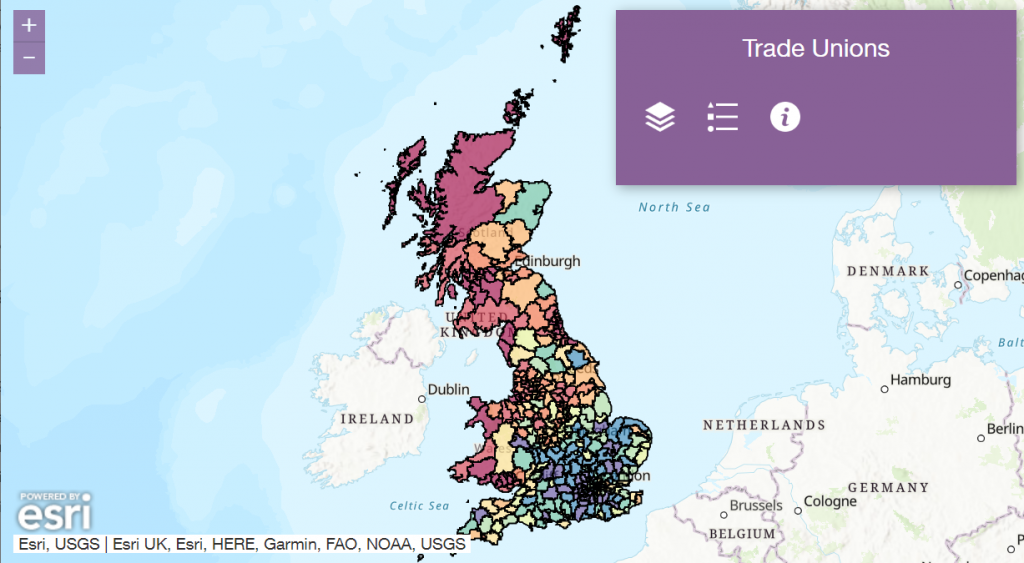
How high is trade union membership where you live?
UnionMaps presents estimates of trade union membership and the coverage of collective pay agreements for detailed geographical areas. The figures related to union membership are derived from the Labour Force Survey, the main source of data used in the production of official statistics for union membership within the UK. Information related to collective pay agreements is derived from the Annual Survey of Hours and Earnings. Data are provided for the Unitary Authority and Local Authority Districts of Great Britain: there are over 400 such areas.
UnionMaps provides data based upon area of residence for the following measures:
- Union density: The percentage of employees who are a trade union member.
- Union presence: The percentage of employees who are a trade union member or who are employed at a workplace where others are members.
- Union coverage: The percentage of employees who report that pay and conditions are agreed in negotiations between their employer and a trade union.
- Collective pay agreement: The percentage of employees whose pay is set with reference to an agreement affecting more than one employee.
- Propensity: The relative likelihood that employees will join a union after accounting for personal and job-related characteristics.
Use the link below to access the interactive map. Once opened, simply click on the map or use the search tool (not available for all mobile devices) to produce area reports of union membership for a particular location. Alternatively, use ‘Map the data’ to see how the different measures of union membership vary across Great Britain.
Please refer to the Research Note Geographical Variations in Union Membership for a more detailed discussion on these data. For access to the full data please use the accompanying Statistical Compendia.
Further reading:
- Mapping the uneven decline of union membership in Great Britain
- Comparing the changing fortunes of trade unions across Great Britain
WISERD partners with Strike Map to integrate new data on union strength
In an exciting new collaboration, WISERD’s UnionMaps data has been integrated into Strike Map, a worker-powered and funded map of industrial action, which has mapped 230,000 strikes since 2020. The combined functionality of both platforms will allow users to see union strength in the areas where industrial action is happening.
A report of data collected by Strike Map is available here: Hodder, A & Mustchin, S 2024, Putting struggle on the map: a report of industrial action recorded via Strike Map in 2023. Strike Map.

